
Panoramio

See All Stories
Site default logo image

New Lexus IS in-dash system adds Street View, Google local search & geotagged Panoramio photos

Screen Shot 2013-05-23 at 11.38.31 AM

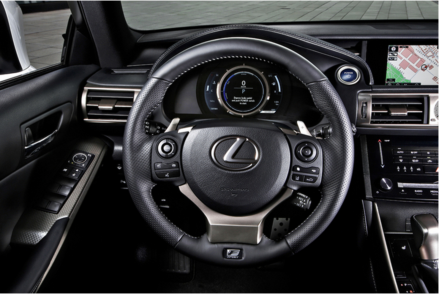
A guest post on the Google Enterprise blog today from Toyota announced that the automaker would be bringing Google technologies to its new Lexus IS model available later this year in Europe.

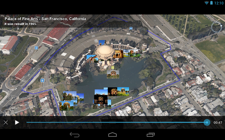
While it might not be Google’s self driving car tech just yet, the vehicle’s in-dash system will now provide access to Street View, Google local search, and geotagged Panoramio photos:

Lexus-Google-MapsThe Lexus IS newest in-dash system gives users direct access to Google local search, Street View and geotagged photos from Panoramio. From cafés in Rome to museums in Paris, drivers can use their navigation system to search online for points of interest. With access to continually updated local information powered by Google, this gives Lexus users peace of mind.

We’re also excited to announce that Street View and Panoramio will be integrated in Lexus’ premium in-car technology. For the first time, Lexus drivers will be able to see real-life images of their surroundings, guiding them to nearby places.

Google Earth ‘Tour Guide’ feature adds 100K new tours & 1M user-generated photos

Site default logo image

GoogleEarth-TourGuide

Google announced today on the Google Earth Google+ page that it is launching a major update to the iOS, Android, and desktop Google Earth apps. Google is updating the tour guide and 3D imagery features it launched in October with Google Earth 7, and it announced the addition of 100,000 new tours of “popular sites, cities and places across 200 countries.” It is also adding as over 1 million user-generated Panoramio photos:

The new, richer tours combine 3D flyovers, Wikipedia snippets and – for the first time – place highlight and more than 1 million user-generated Panoramio photos in order to create an immersive and educational exploration of your favorite places. Each tour ends with a selection of photo thumbnails which were selected from Panoramio as the best representation of a given place. Clicking on one of the thumbnails enables a full screen photo experience.
Expand
Expanding
Close

Google Maps now offers photo tours of the world’s most popular landmarks

Site default logo image

[youtube=http://www.youtube.com/watch?feature=player_embedded&v=uOFsYp7AtUs]

Google introduced photo tours today—a new feature of Google Maps that allows users to watch 3D photomontages of worldwide landmarks by virtue of user-contributed content.

The tours are now available for more than 15,000 locations, and they include popular tourist spots like Italy’s St. Mark’s Basilica or Yosemite’s Half Dome. The new feature is accessible when a user searches for a place, and then the left-hand panel will display any live photo tours. Just click the thumbnail or link to embark on the photo tour. Indications for photo tours also appear when browsing Google Maps. In this instance, just click a landmark’s label to find an available photo tour.


Expand
Expanding
Close