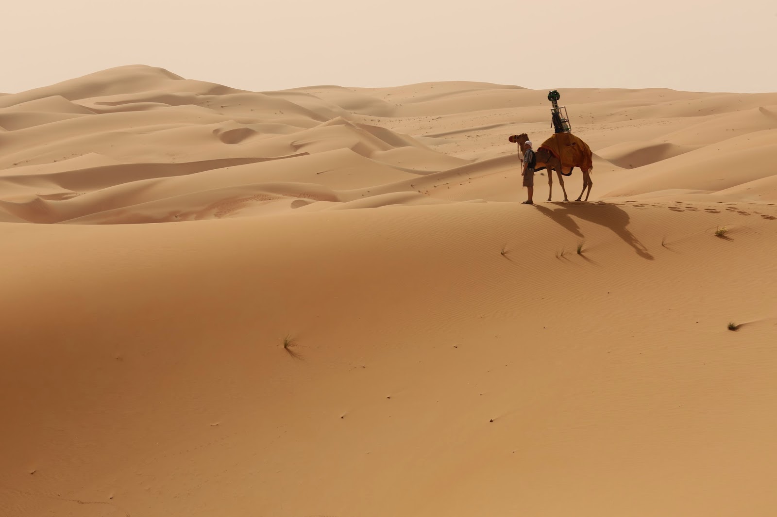
No, that’s not where Apple Maps will take you when you ask for directions to Starbucks, but close! It’s the Liwa Desert in the United Arab Emirates, and Google Maps has captured the site in detail for exploring through Street View thanks in part to camels:
To bring this stunning desert to Street View, we fashioned the Trekker to rest on a camel, which gathered imagery as it walked. Using camels for the collection allowed us to collect authentic imagery and minimize our disruption of this fragile environment.
The Google Maps Street View team wrote about the significance of the Arabian desert and why they chose to capture the landscape:
Some of the richest history in this desert lies in the Liwa Oasis—the largest oasis in the Arabian peninsula. Many people across the UAE can trace their origins to the first tribes that settled there and established the region as a trade center. The oasis is also home to date farms, whose trees and fruit are important cultural symbols—the trunks of the palms were used to weave the walls of Bedouin tents, baskets and more, while the fruit was a treasured treat for the locals. Now, the oasis is a sought out location for tourists around the world and those who live in the area.
You can see a brief clip of Google’s Trekker hardware roaming with a camel through the desert below:
Finally, you can tour the Liwa Desert virtually through Street View here with Google Maps.
FTC: We use income earning auto affiliate links. More.
Comments