Immersive View is a feature that allows Google Maps to give you an in-depth preview of a location you may be visiting, and now, Google is bringing Immersive View to your navigation routes.
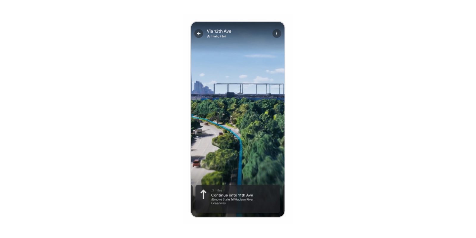
“Immersive View for Routes” merges classic Google Maps navigation with Immersive View, allowing users to see their route in 3D before starting the trip.
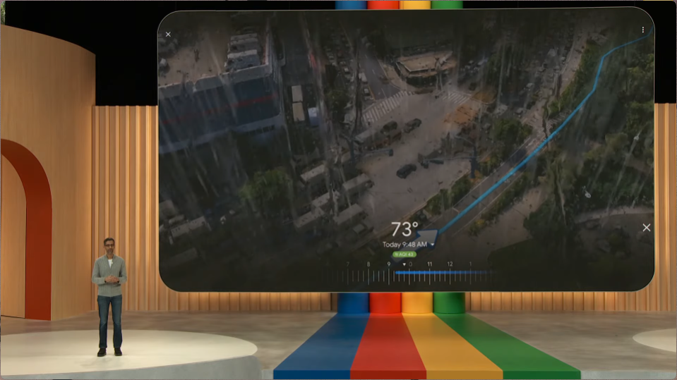
This works across driving, cycling, and walking, even integrating with bike paths. It can also show weather and air quality details, also with 3D animations.
Immersive View uses computer vision and AI to fuse billions of Street View and aerial images together to create a rich, digital model of the world. With this technology, you can see all the information you need about your route at once. When you get directions, you’ll see a multidimensional experience that lets you preview bike lanes, sidewalks, intersections and parking along your journey. With the time slider, you’ll see air quality information and how the route looks as the weather changes throughout the day, so you can be prepared with a jacket or sunscreen. And no matter what mode you take, AI and historical driving trends simulate how many cars might be on the road at a given time — because a route during a quiet afternoon can look very different during rush hour.


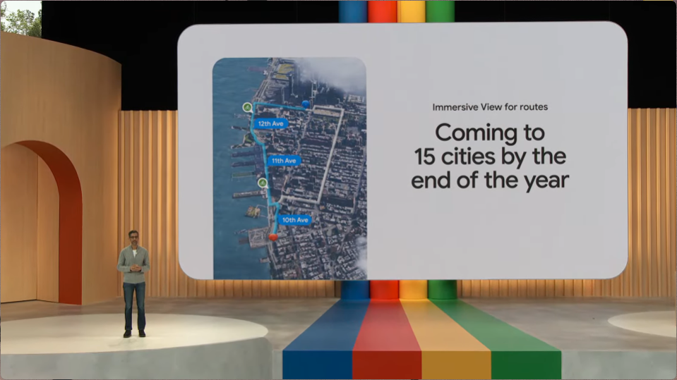
Google says that Immersive View for Routes will roll out starting this summer, with support in 15 cities by the end of 2023. Those cities include:
- Amsterdam
- Berlin
- Dublin
- Florence
- Las Vegas
- London
- Los Angeles
- New York
- Miami
- Paris
- Seattle
- San Francisco
- San Jose
- Tokyo
- Venice
Google is also launching a new “Aerial View API” for developers to allow third-party uses of Google Maps’ Immersive View.
FTC: We use income earning auto affiliate links. More.


Comments