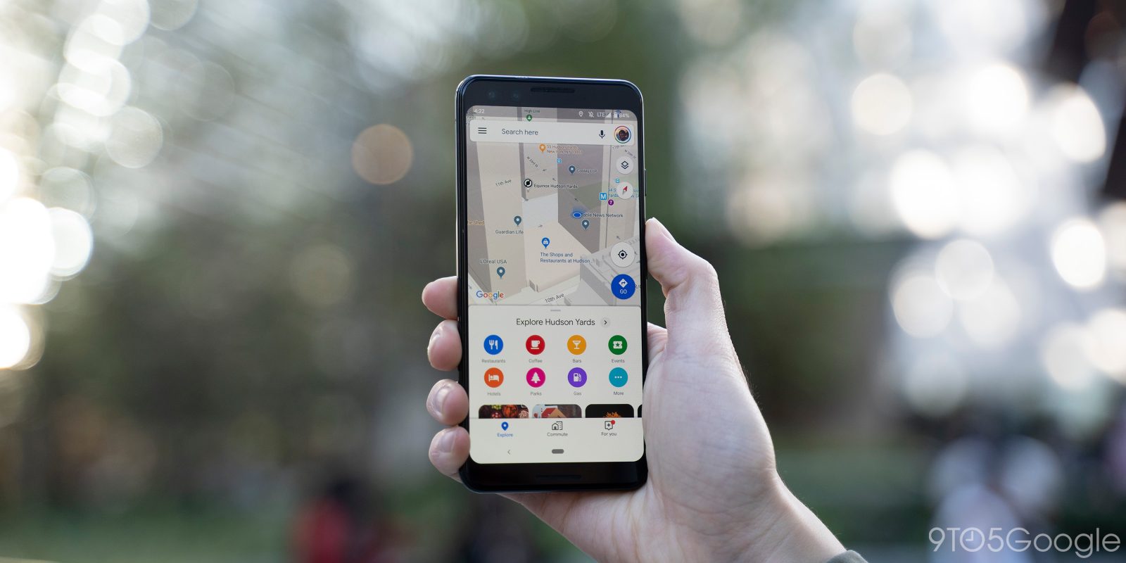
Back in March, Google widely rolled out speed trap and accident reports in Maps for Android. The service today is adding more types of incident reporting while bringing the popular feature to iOS.
Similar to Waze, reporting incidents on Google Maps helps create a view of real-time road activity to improve navigation for all drivers thanks to this crowdsourced data. According to Google, it’s one of the most popular features on Android, and is now coming to iOS.
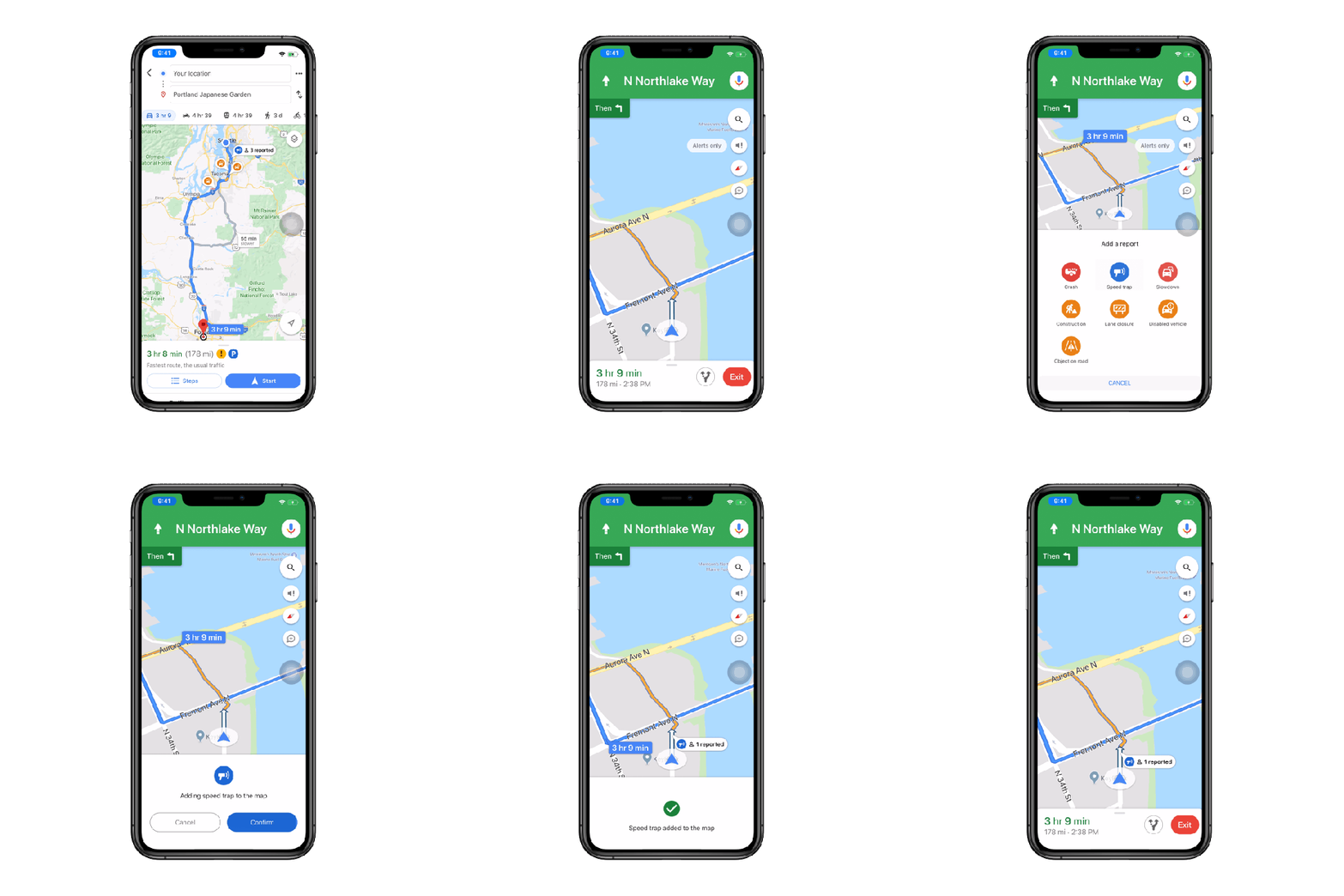
When using driving navigation, there’s a new white FAB button with a message bubble-esque icon. It appears below Search, alerts, and compass. Tapping slides up a sheet of seven report types with matching icons that you can quickly press. Google Maps will give you a few seconds to cancel the report, but you have the option to tap and “Confirm” immediately. The entire experience is meant to be seamless and get you back to the navigation UI.
Before today, incident types included crashes, speed traps, and traffic slowdowns. Android and iOS are now gaining construction, lane closures, disabled vehicles, and objects on the road.
Expanded Google Maps incident reports start rolling out globally on Android and iOS this week.

More about Google Maps:
- Google Maps adding detailed voice guidance for walking directions
- Google Maps UI tweaked on Android Auto w/ new logo, rounded corners
- Google Maps incognito mode starts rolling out to Android this month, iOS ‘soon’
FTC: We use income earning auto affiliate links. More.


Comments