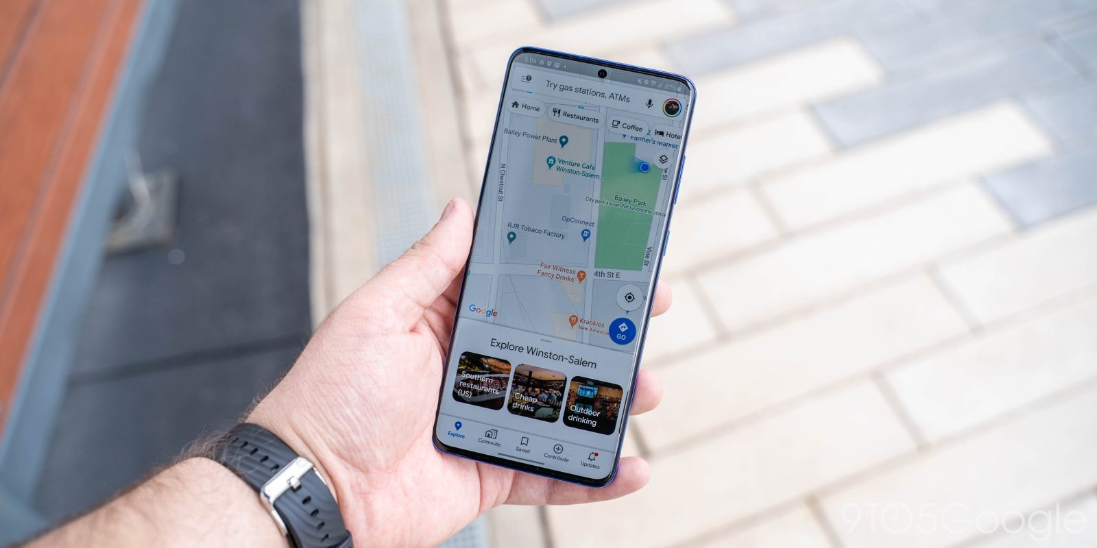
From AR navigation to business messaging and reviews, Google Maps is a big platform. The latest update today is focused on improving the visual quality of the default Google Maps layer — especially for nature — and adding more street detail.
Update 5/18: At I/O 2021, Google announced that detailed street maps are coming to 50 more cities by the end of 2021. AI is being heavily leveraged to add sidewalks, crosswalks, and pedestrian islands in Google Maps:
But detailed street maps require significantly more granularity and precision than a normal map. To map these dense urban features correctly, we’ve updated our models to identify all objects in a scene at once.
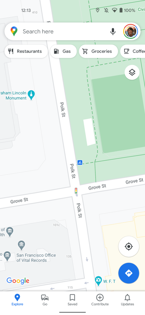
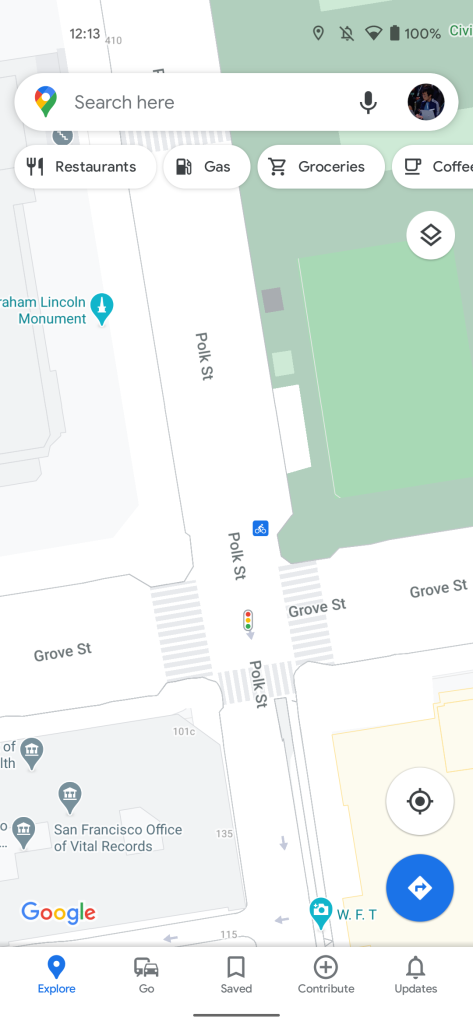
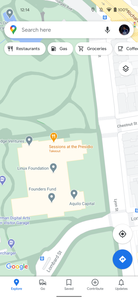
Update 1/30/21: Google has fully rolled out — no account switching needed — new street-level details in Central Tokyo, San Francisco, New York, City, and Central London. Zoom in to see sidewalks, crosswalks, medians, and pedestrian islands, while parks will feature pathways and stairs.
There will also be more accurately scaled road widths in Maps, though Google warns that some areas might have uneven borders. This increase in detail will “help you more accurately explore an area and make plans before you visit.”
This can be especially helpful when you navigate on foot or have accessibility needs, like wheelchair or stroller requirements.
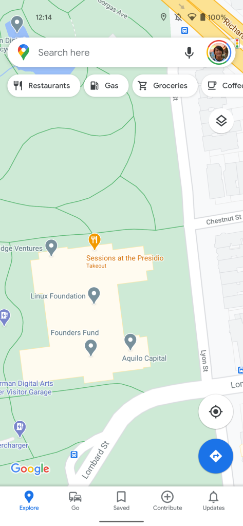
Original 8/18/20: The service today has three map types: Default, Satellite, and Terrain. Google is now leveraging a “new color-mapping algorithmic technique” to translate its existing high-definition satellite imagery into the base map. Behind-the-scenes, Google leveraged computer vision to identify natural features — arid, icy, forested, and mountainous regions — and then assign them a color.
Exploring a place gives you a look at its natural features—so you can easily distinguish tan, arid beaches and deserts from blue lakes, rivers, oceans and ravines. You can know at a glance how lush and green a place is with vegetation, and even see if there are snow caps on the peaks of mountaintops.
For example, a densely covered forest will be dark green, but an “area of patchy shrubs” gets a lighter shade. To view and fully appreciate, zoom out on a location.
This process was applied to all 220 countries and territories — over 100 million square kilometers of land, with Google touting Maps as having the “most comprehensive views of natural features on any major map app.”

Besides natural features, Google Maps will soon add “highly detailed street information that shows the accurate shape and width of a road to scale.”
You can also see exactly where sidewalks, crosswalks, and pedestrian islands are located–crucial information if you have accessibility needs, like wheelchair or stroller requirements.
This will appear in London, New York, and San Francisco over the “coming months,” and then expand to other cities.
Update 1/16/21: Google is widely rolling out these more detailed maps. If you’re not seeing crosswalks and other granular road aspects, try switching (via Android Police) Google Accounts. In addition to the three cities announced at launch, Central Tokyo is getting the same treatment on the mobile and web apps.
More about Google Maps:
- Google Maps coming back to Apple Watch, now supports CarPlay Dashboard
- Maps now shows ‘Wear a Mask. Save Lives’ banner w/ COVID-19 safety tips
- Google Maps can use Live View AR to calibrate your current location, orientation
FTC: We use income earning auto affiliate links. More.

Comments