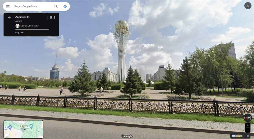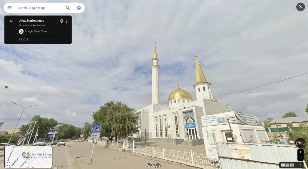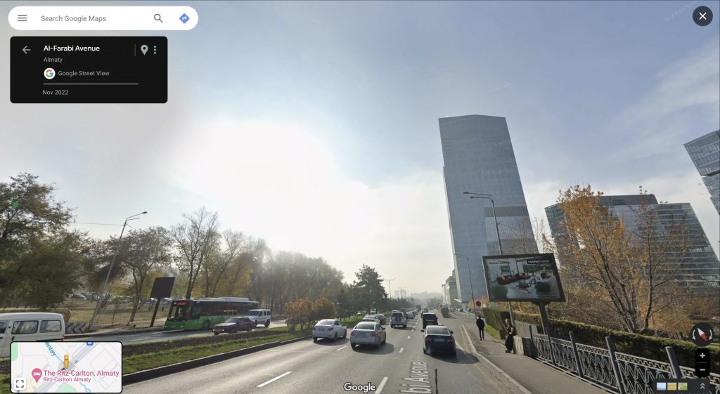
Google has brought Street View on Maps to Kazakhstan in its latest expansion.
Available starting this week, Google Maps is able to show Street View imagery throughout the country of Kazakhstan. Google announced the expansion on The Keyword, explaining that imagery was captured using its smaller “Trekker” gear modified to attach to pickup trucks.
We deployed specially designed Trekkers mounted on pickup trucks, which gave us flexibility to travel across the country’s varied terrain. These Street View vehicles traveled over 42,000 kilometers — more than the length of the equator — so that people around the world can see some of the most populous cities like Semey, Aktobe, Almaty, Shymkent and Astana for themselves.
Street View in other regions often uses smaller vehicles, and in some cases even EVs, but the local terrain required something more flexible.
Sights to see in Kazakhstan include portions of the Silk Road which was used for over 1,500 years to trade from Europe to China. There’s also the Caspian Sea, various mountain ranges, and “the futuristic skyline of Astana.”
Street View is currently available in over 100 countries.


More on Google Maps:
- Google Maps rolling out public transit directions on Wear OS
- Android, Google Maps getting more accurate device orientation
- Google Maps has started showing where to enter a building for some
Follow Ben: Twitter/X, Threads, Bluesky, and Instagram
FTC: We use income earning auto affiliate links. More.


Comments