Besides Lens, Google’s big bet on augmented reality is in Maps. AR walking directions rolled out to Android and iOS last year, with more features on the way. Google Maps is now using Live View to calibrate your location.
Google believes that “GPS falls short” in dense, urban environments where there is high interference from buildings. Its solution leverages your device’s camera and years’ worth of Street View data to visually determine where you are.
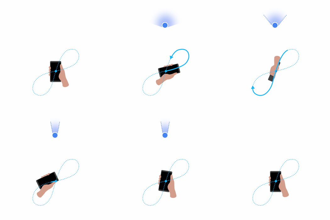
When you launch Live View, you’re first asked to point at buildings, street signs, and other surroundings. This helps Google Maps know what direction you’re facing. A compass is traditionally used for this step when getting directions, but many know that moving your phone in a “figure 8” is both awkward and sometimes doesn’t seem to really work.
Google is now letting you “Calibrate with Live View” to improve the accuracy of the blue dot in Maps. Most are familiar with the dot that marks current location having a beam to signify what direction you’re pointed in. Narrower beams are more accurate than wider ones.
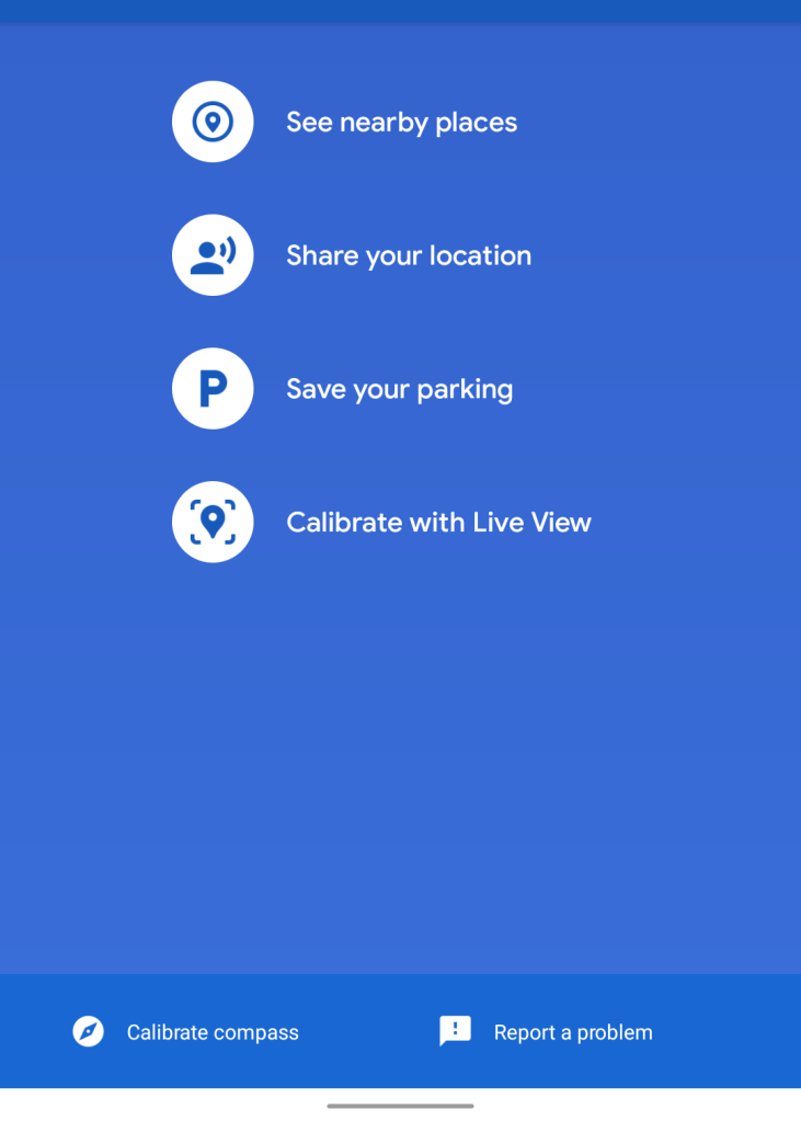
Tapping the blue circle will open a full-screen menu with the new option at the bottom under “Save your parking.” This will launch the same camera UI used by Live View and should only take a few seconds of panning.
Afterwards, your location should be highly accurate and not jump around. Meanwhile, the beam is replaced by a solid arrow.
Calibrate with Live View is live on several ARCore-compatible Android devices that we checked today running the latest stable and beta versions of Google Maps. It is not available on iOS.
More about Google Maps:
- Google Maps tests showing traffic lights on streets
- [Update: For Android, web] Google Maps overlaying AR-esque place markers in Street View
- Maps adding square Promoted pins as Search’s Shopping tab gains local store info
- Google Maps using crowdsourced data to help you avoid crowds on public transit
Thanks Henny!
FTC: We use income earning auto affiliate links. More.


Comments