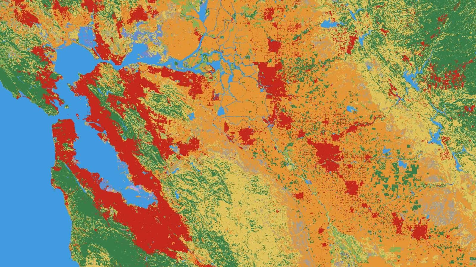
Tracking how the planet changes in response to fires, floods, and other “environmental disturbances amplified by climate change” or human activity (deforestation and urban development) is important for creating solutions. Google is now using its Earth Engine and AI Platform to make data more readily available with “Dynamic World.”
Water scarcity is widely considered to be the next major issue impacting the world over the coming years. One way to start tackling the problem is by getting a better understanding of current conditions. Google has partnered with UN Environment and others to provide free and open data on the natural resource around the world.
Google is updating all of its mapping products today with brand new, cloud-free satellite imagery from space that it says “includes refreshed imagery for regions of the world where high-resolution imagery is not yet available, and offers a more comprehensive and accurate view of the texture of our planet’s landscape.”
With the Blue Marble as inspiration, we used Google Earth Engine technology to mine hundreds of terabytes of data from the USGS’s and NASA’s Landsat 7 satellite. The result is a seamless, globally-consistent image of the entire planet with a resolution of 15 meters per pixel, far finer than is possible with MODIS data alone.
Google just took to its official Lat Long blog to wish Landsat a “Happy 40th Birthday” and make its surface imagery live for the entire world to enjoy.
The revered satellite program essentially collects continuous images of the Earth to help smart folks, like scientists and researchers, make knowledgeable decisions on the economy and environment. Google Earth Engine has made Landsat’s data available to such experts anywhere in the world, but now it wants to give the public access.
We’re working with the USGS and Carnegie Mellon University, to make parts of this enormous collection of imagery available to the public in timelapse videos of the Earth’s surface. With them you can travel through time, from 1999-2011, to see the transformation of our planet. Whether it’s deforestation in the Amazon, urban growth in Las Vegas or the difference in snow coverage between the seasons.
[…] In 2008, the USGS opened access to the entire Landsat archive for free. Google Earth Engine makes it possible for this data to be accessed and used by scientists and others no matter where they are in the world.