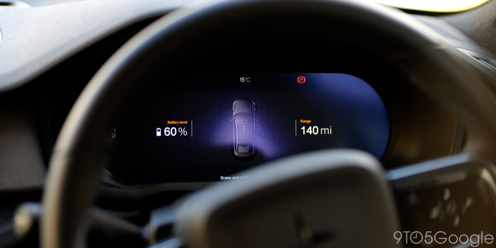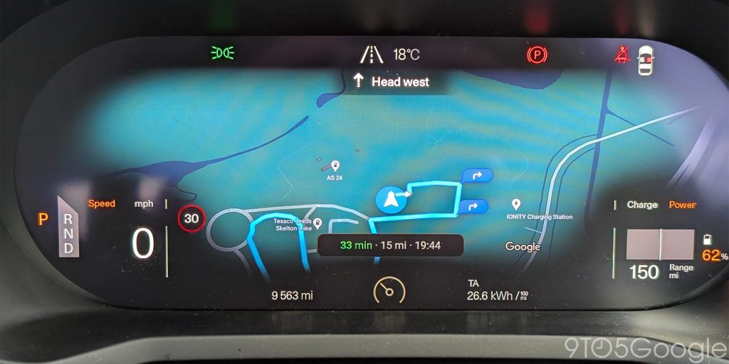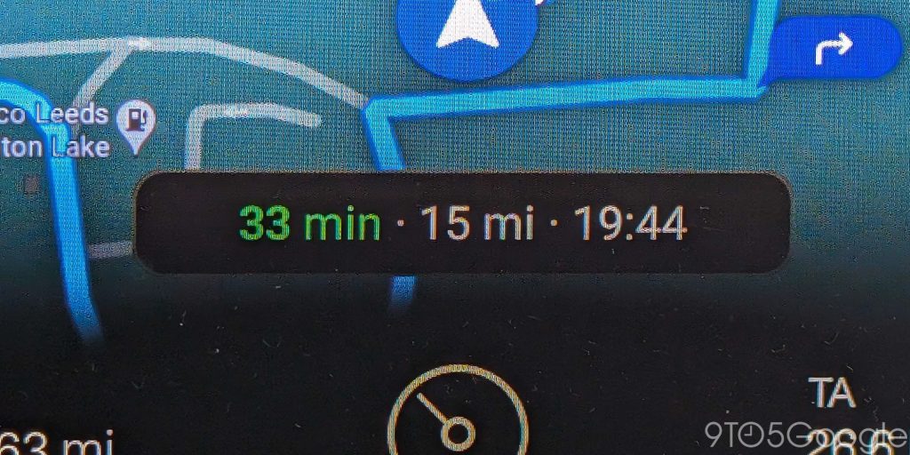
Android Automotive now has a new heads-up mini pane that indicates how far you have to travel, how long it will take and the estimated arrival time when navigating using Google Maps.
The change appears to have rolled out for Google Maps over the past few days and I’m currently seeing this on my Polestar 2 running the latest Android Automotive P3.1.10 build. As previously, this information was limited to the center console of vehicles that run the car-based OS. When you have a destination chosen and initiate Google Maps directions, you will get a small “block” in the dashboard showing the estimated travel time in green, the distance in miles or kilometers, and the estimated local arrival time once based on your current speed.
While this is a nice touch, it can obscure some key Maps direction information when you are at the wheel. Once you have reached your destination or if you cancel navigation, this mini pop-panel will disappear from view and you’ll see the basic Maps overview and/or generic Android Automotive dashboard.


Changes to Android Automotive feel like they move at a glacial pace compared to other versions of Android. That means even the most minor changes can have major knock-on effects when driving, navigating, or just using the in-car UI in general. While most changes are cosmetic, adding this heads-up panel means you don’t need to take focus off the road while using Google Maps. It’s a good safety feature that puts key information right where needed.
If Android Automotive powers your car, it will also be a timesaver not to need to leave Maps open or re-open at specific intervals on the center console to get key travel information. You can leave music or media apps open without losing track.
More on Google Maps:
- Google Maps bottom bar redesign rolls out on Android
- Google Maps starts using AR to show you the history of Paris
- New Google Maps incident reporting comes to mobile & Android Auto, Waze gets lockscreen navigation
FTC: We use income earning auto affiliate links. More.


Comments