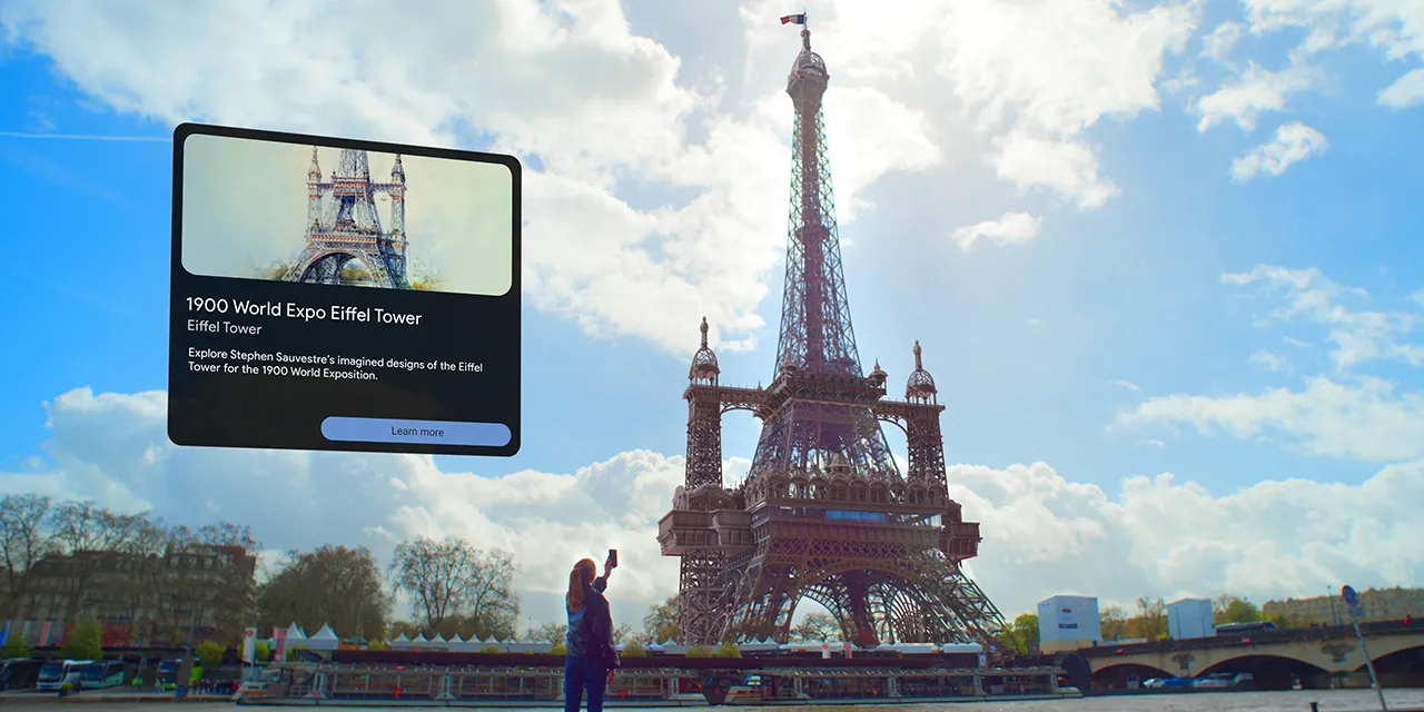
Available this Summer in Paris, Google Maps is using AR to help give you a trip back in time to see the history of the city and some of its iconic landmarks.
The city of Paris has a rich history, much of it preserved through landmarks, and others through the city’s museums and more. But using augmented reality (AR) in Google Maps, you can now see some of that history as your explore the city.
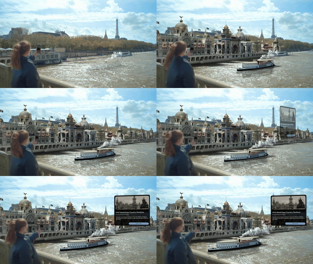
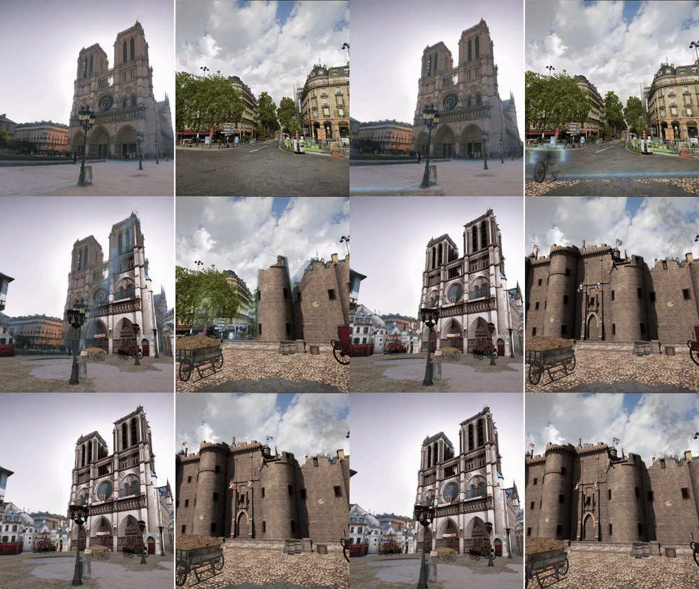
Google announced today that, available this Summer and expanding over time, Maps will use AR to take a look back in time to see the city’s history. This includes being able to see another version of the Eifel Tower that was imagined for the 1900 World Expo, see pavilions that were built along the Seine for the same fair, and see recreations of parts of the city from the 1700s, including the iconic Notre-Dame Cathedral.
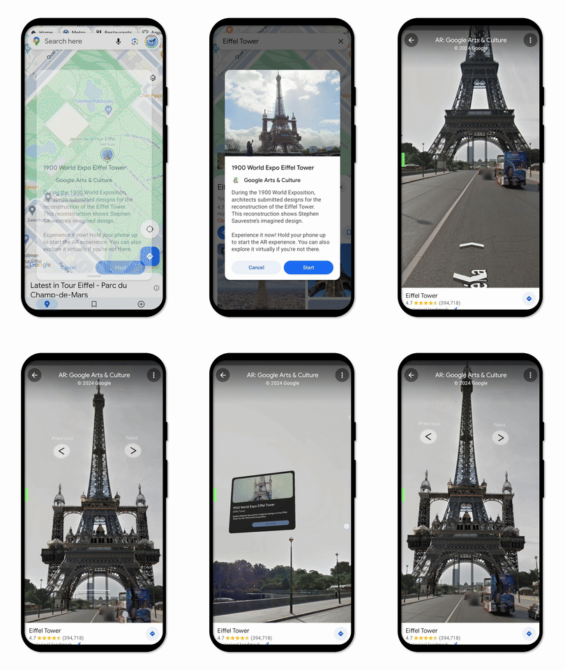
When you search for a location in Google Maps that offers AR content, you can explore it right from the app. Simply touch the “AR Experience” icon and raise your device to view it from Lens in Maps. If you’re not at the landmark, you can still view the experience from anywhere in the world using Street View.
Google says that this experience is available as a part of Google Arts & Culture and built in collaboration with Ubisoft, and that more will be coming in the future.
More on Google Maps:
- New Google Maps incident reporting comes to mobile & Android Auto
- Google Maps and Search will show wildfire alerts in more parts of Europe and Africa
- Google Maps redesigns Wear OS Tile, adds complications
Follow Ben: Twitter/X, Threads, Bluesky, and Instagram
FTC: We use income earning auto affiliate links. More.


Comments