Google Maps is testing climate change sea rise maps in some coastal areas [Update: Maybe not]

Update: Maybe not. A Google spokesperson just sent over the following information, suggesting that this might have been a glitch in the system after all.
The various types of data found in Google Maps come from a wide range of sources. Our basemap data – things like ocean, road networks, and place names comes from a combination of third-party providers, public sources, and user contributions. Overall, this provides a very comprehensive and up-to-date map, but there are occasional inaccuracies that arise from any of those sources.
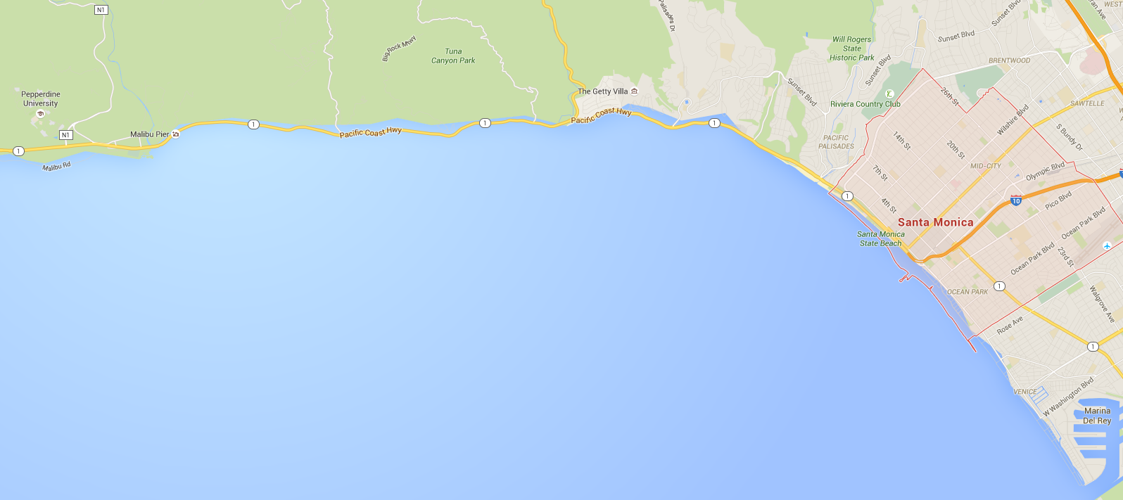
Before the weekend I just happened to look up Santa Monica on Google Maps and saw that the ocean was somehow extending onto the land. Dismissing it as an old — albeit uncommon — glitch in Google’s mapping app, I went about my day. Apparently, there’s a little more to this than just programming error, and it has to do with global warming.
Sea level rise as a result of climate change could have devastating effects for low-lying coastal areas (and pretty much everyone, really), and as Mic.com pointed out on Friday, Google was showing users the potential damage of climate change by way of Google Maps — in far more areas than just Santa Monica. Other areas around LA were showing up with underwater houses and streets…
Expand
Expanding
Close