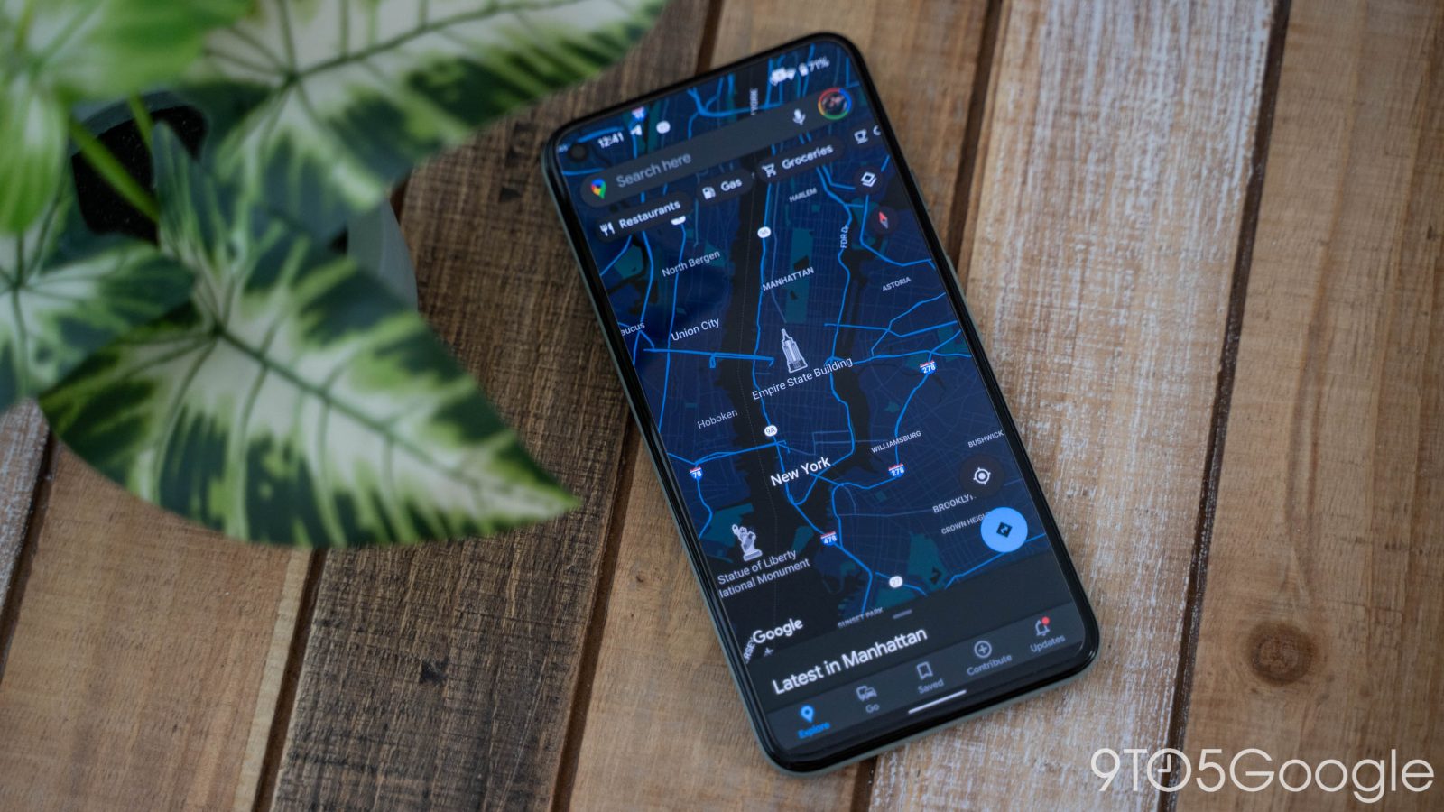
Announced this week, New York City officials are putting a focus on improving the use and finding of public bathrooms in the city, and that includes using Google Maps to do it.
In a press release this week, NYC Mayor Eric Adams announced plans for the city to refurbish existing and open new public restrooms across New York City. This is because, as The Verge puts it, “going to the bathroom in New York is a nightmare.”
Alongside efforts to improve public restrooms, the city is also trying to make it easier for people to find these restrooms, and it’s doing that through Google Maps.
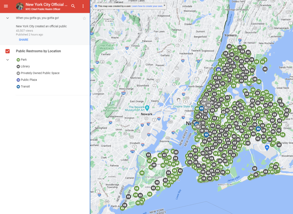
A new layer in Google Maps makes it pretty easy for users to quickly locate nearby public bathrooms in New York City from any device. The map covers all parts of NYC including Staten Island. The city explains:
New York City created an official public restroom map – showcasing the operational restrooms located within our public parks, libraries, transit system, and public spaces.
The map includes data from NYC Department of Parks and Recreation, NYC Department of Transportation, NYC Department of City Planning, New York Public Library, Brooklyn Public Library, Queens Public Library, and the Metropolitan Transportation Authority.
This isn’t an effort backed by Google, to be clear, but rather just a clever use of custom maps. NYC officials say the map will be updated biannually.

More on Google Maps:
- Google Business Messages in Maps and Search shutting down
- Simplified Google Maps bottom bar rolling out on Android
- Google Maps makes it easier to find EV charging stations and see specific roads
Follow Ben: Twitter/X, Threads, Bluesky, and Instagram
FTC: We use income earning auto affiliate links. More.


Comments