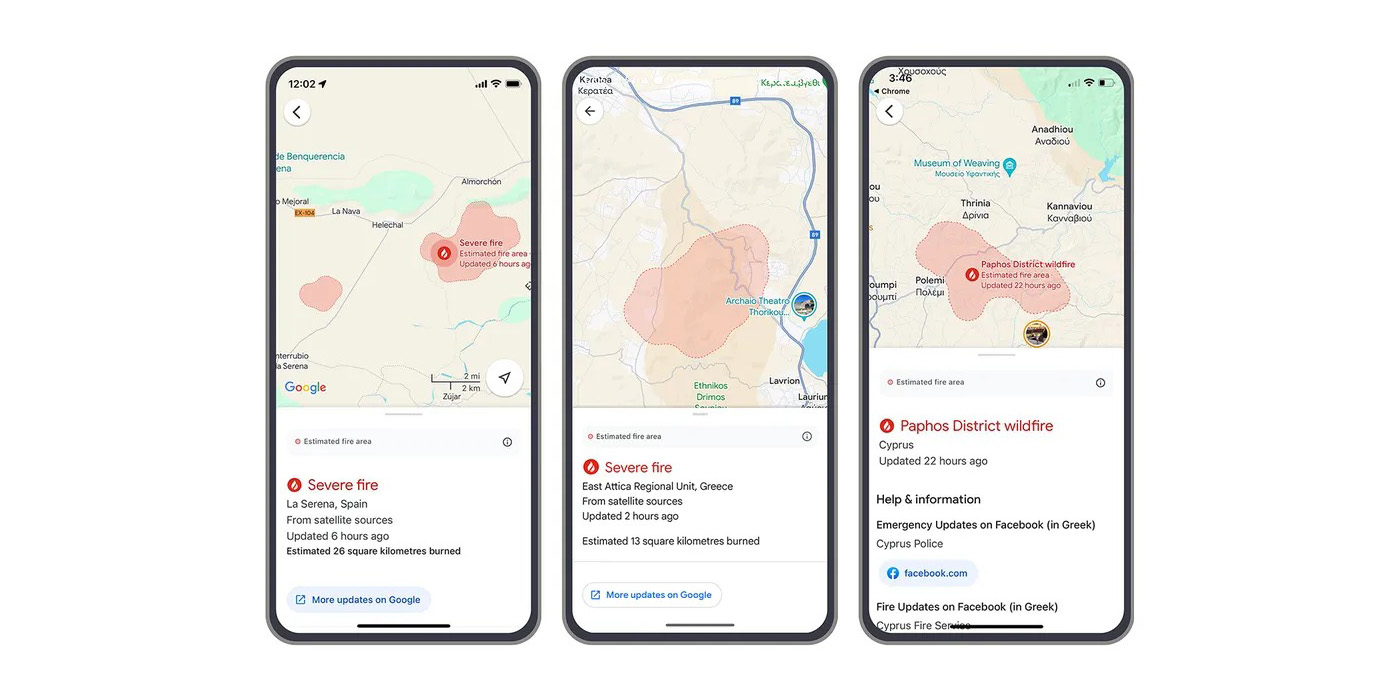
Starting back in 2020, Google Maps and Search gained the ability to show the boundaries of nearby wildfires. Now, support for wildfire info in Google Maps and Search is expanding to more countries through Europe and Africa.
Detailed on The Keyword, Google has announced that wildfire boundaries and information will now be shown in Search and Maps across 15 new countries. That brings the total up to 22 including the existing regions such as the US, Canada, Mexico, Australia, and more.
The new regions include:
- Andorra
- Bosnia & Herzegovina
- Croatia
- Cyprus
- France
- Greece
- Italy
- Kenya
- Monaco
- Montenegro
- Portugal
- Rwanda
- Slovenia
- Spain
- Türkiye
Google explains that its AI-powered wildfire tracking has already mapped over 40 wildfires through Southern Europe so far this Summer including fires in Spain, Greece, and Cyprus last month.
We showed these wildfire boundaries in Search and Maps and made information available through notifications — complementing existing on-the-ground efforts to help people access information and stay safe. As many as 1.4 million people saw our wildfire information in the first week of July alone, after wildfires broke out across Europe and Africa.
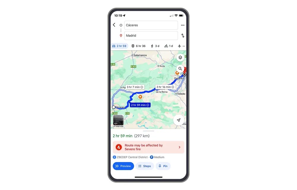
Users in affected areas may be alerted through notifications on their phone as well as through driving directions.

More on Google Maps:
- Google Maps launch new features and Android Auto incident reports in India
- Google Maps redesigns Wear OS Tile, adds complications
- Google Maps is showing Live Activities for more iPhone users
Follow Ben: Twitter/X, Threads, Bluesky, and Instagram
FTC: We use income earning auto affiliate links. More.


Comments