
Satellite imagery

See All Stories

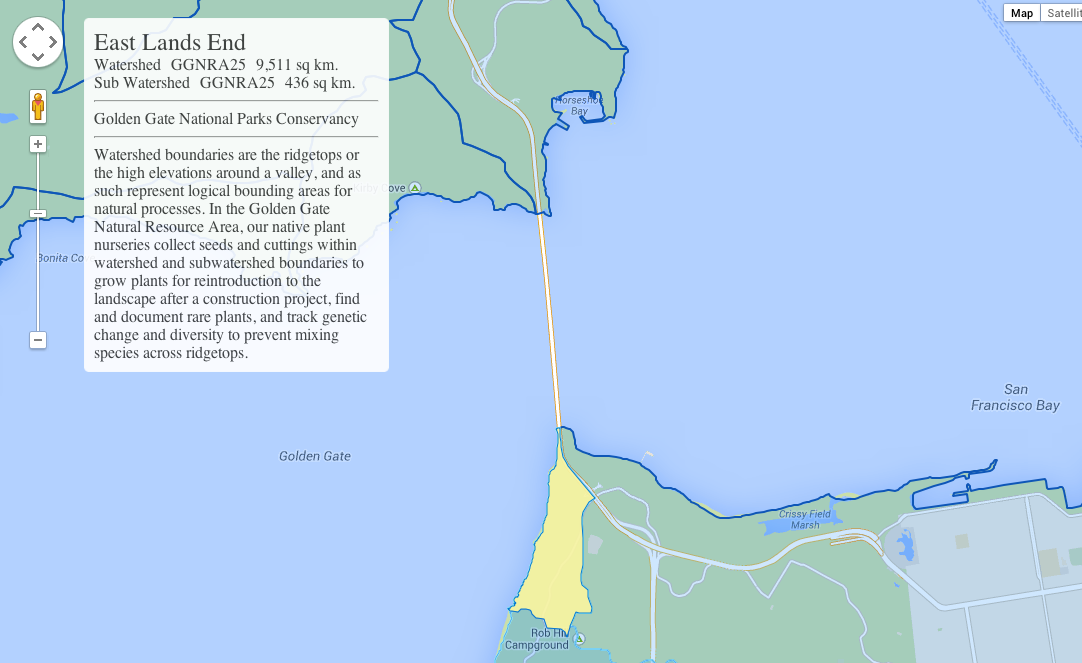
Google Earth and Maps updated with sharper, more detailed satellite imagery [Gallery]

Site default logo image

Screen Shot 2016-06-17 at 12.41.39 PM

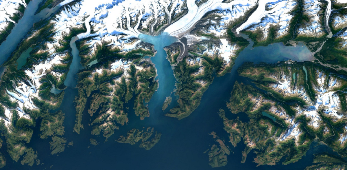
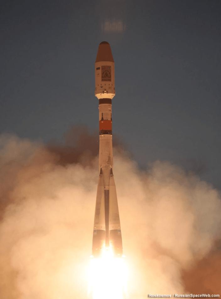
The novelty of exploring satellite imagery of the world in Google Earth has long worn off since the app launched in 2001. Now the the company has given you a reason to dive back in and explore the Earth from above, announcing today that all mapping products, including the satellite layer in Maps, will get sharper and more detailed images thanks to a new satellite and processing techniques…


Expand
Expanding
Close

Site default logo image

Google adds new Street View imagery of Rideau Canal Skateway in Ottawa

[googlemaps https://www.google.com/maps/embed?pb=!1m0!3m2!1sen!2sus!4v1422413696276!6m8!1m7!1sS6MvpZwWN03vSEO4uV8KzA!2m2!1d45.394028!2d-75.691904!3f88.79!4f11.010000000000005!5f0.7820865974627469&w=704&h=400]

Google is always expanding the imagery available in its Street View feature in Maps, and this evening the company has announced in a blog post that it has added new data from the Rideau Canal Skateway in Ottawa. The city is set to kick off its annular Winterlude Festival next week, which is a three-week long event that hosts a variety of games, shows, and activities.


Expand
Expanding
Close

Google now allowing businesses to purchase its Earth imagery data

Site default logo image

google_earth

In a blog post on its official enterprise blog today, Google announced that it is opening up its collection of Google Earth data to businesses. Businesses and governmental organizations will now have the ability to purchase imagery collected by Google and use them for whatever they need. Since it launched 9 years ago, Google Earth has built up an incredible collection of image data, and it only makes sense for the company to continue to profit off of it.


Expand
Expanding
Close

Here’s a really cool Google Maps development that Google made sound dull

Site default logo image

clientside

On the same day that Google updated all its mapping products, it also demonstrated the gentle art of making a really cool piece of new technology appear deathly dull.

Today we’re announcing a new way for developers to visualize and interact with data hosted in Maps Engine: DynamicMapsEngineLayer. This class performs client-side rendering of vector data, allowing the developer to dynamically restyle the vector layer in response to user interactions like hover and click.

Sure, the blog entry is aimed at software developers, so can be forgiven its language, but the example they use to promote the feature seems more suited to a dusty geography textbook than an illustration of something that could really transform the way we use Google Maps. What it actually means is that you can mouse-over a map to really quickly and easily explore anything from tourist info to property ownership. Read on for more …


Expand
Expanding
Close