Google now lets you browse shared custom maps from others, launches revamped ‘My Maps’ tool


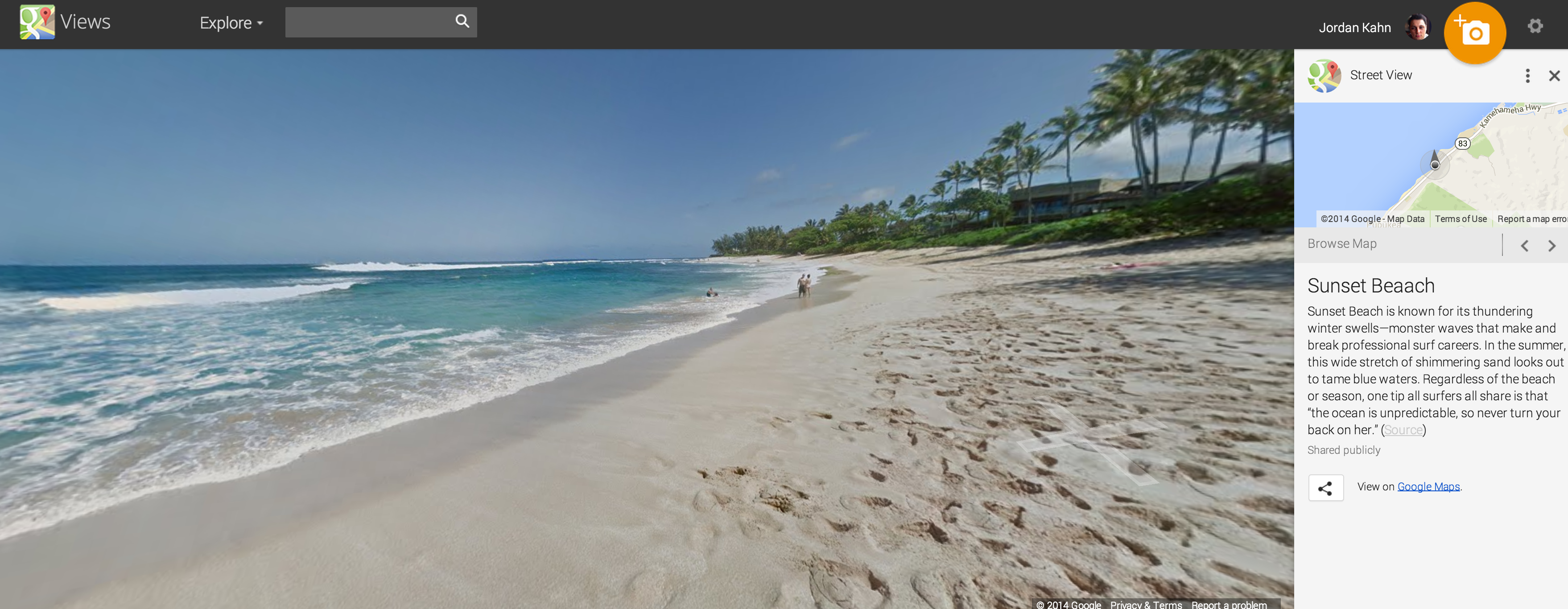
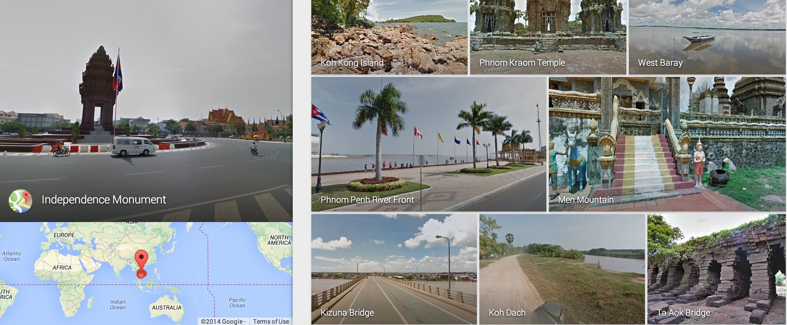
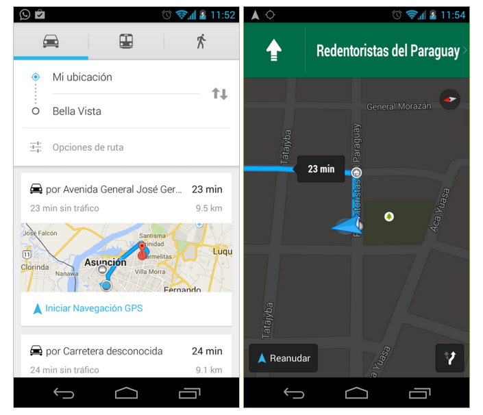
Google announced today that it’s launching new features that make creating and sharing custom maps with others easier. Google is now letting users share and browse publicly shared maps from others through its Google Maps Gallery website, a site that was previously dedicated to Maps curated by Google and created by Google partners. Starting today the service is open to everyone and Google is also launching a revamped tool on both the web and Android for creating and sharing custom maps that include images, descriptions, custom icons and more.