Google Earth

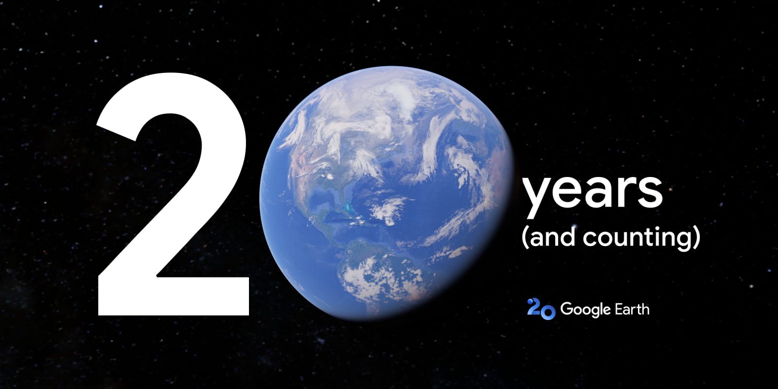
Like Google Maps, Google Earth is marking its 20th birthday this year. Other first-party milestones (10 years) in 2025 include Google Photos, Fi Wireless, and YouTube Music.
Expand Expanding Close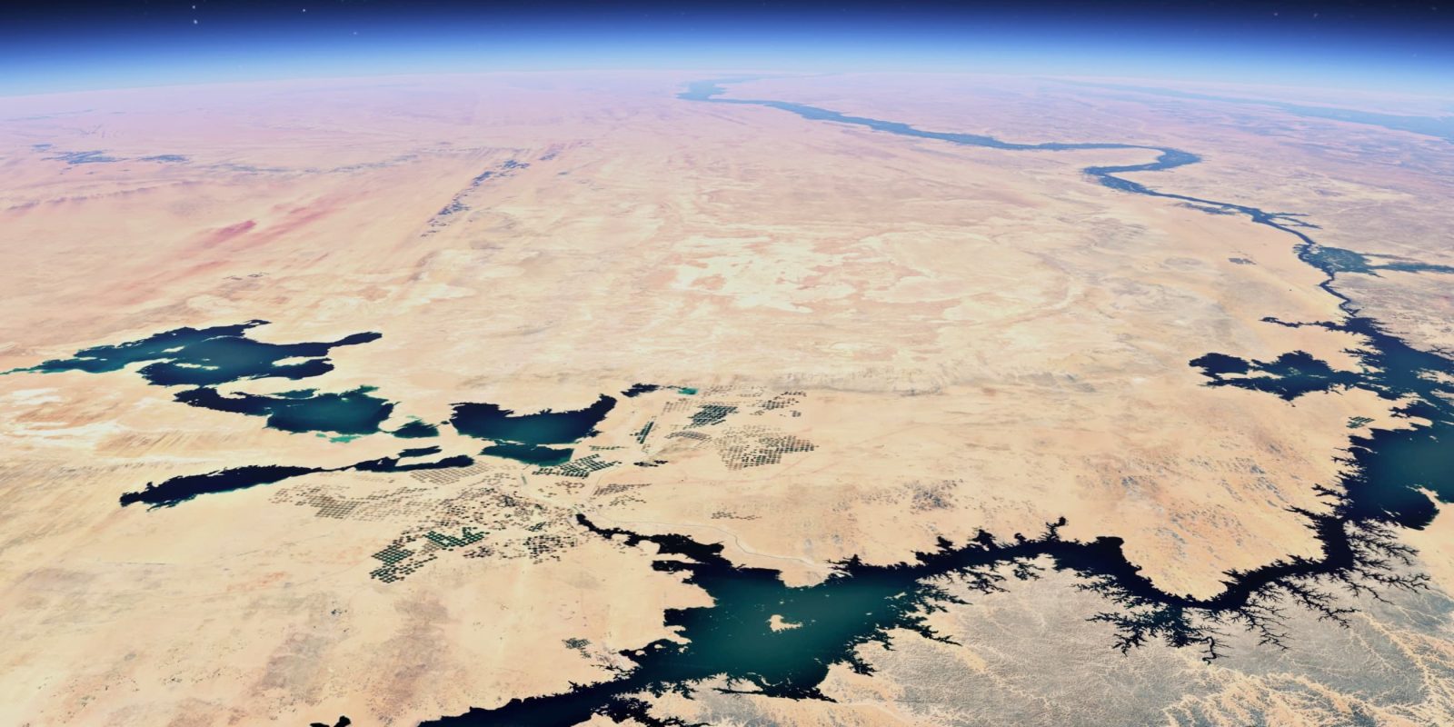
Google Maps is getting sharper satellite imagery and more Street View content, while Google Earth will soon let users access more historical imagery.
Expand Expanding Close
Without any warning or prior notice, Google appears to have shut down the website for its “Earth View” collection of satellite-captured wallpapers and Chromecast backgrounds.
Expand Expanding Close
In its first big update in quite a while, Google Earth is rolling out a redesigned Android app that adds overdue support for Projects, while also stripping away an old feature.
Expand Expanding Close
In 2016, Google introduced a Timelapse feature to track how any location on Earth has changed over the past few decades. Google Earth is now directly integrating Timelapse for an “interactive 4D experience.”
Expand Expanding Close
Have you ever wanted to see just what the aerial view of a city or location looked like in years past? Well, it looks like Google is working on an experimental time-traveling time-lapse mode within Earth on Android that will overlay historical area data giving you a window to the past.
Expand Expanding Close
The past few years has seen a shift to dark themes on many of the most popular mobile applications all working directly with on-device system themes, the latest being that of Google Earth.
Expand Expanding Close
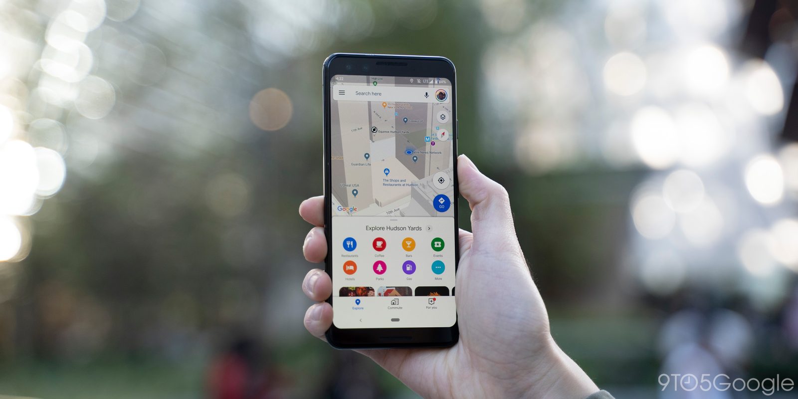
In an update to its mobile apps and the web this week, Google Earth is making some major improvements to its search interface to make it better looking and more interactive. Here’s what you need to know.
Earth View is a “collection of the most striking landscapes found in Google Earth” that came about from people taking screenshots of the virtual globe for desktop backdrops. Google today added over 1,000 new high-resolution Earth View wallpapers.
Google Maps and Earth are two useful pieces of software for getting around or learning more about our planet, and this week, Google is offering up some details on just what percentage of the planet these two services have mapped.
In addition to being a fun way to explore the globe, Google Earth has always been big in education. Google is now turning Earth into a platform for storytelling with new creation tools that let you markup the world.
Google Earth has been available on the web for just over two years now, but only for Google Chrome. This is because Google built it using Chrome-only technology. As of today, Google Earth is now available in all major web browsers, including Firefox and the new Microsoft Edge, having been completely rewritten.
Back in March, Google added a playable Carmen Sandiego game within Google Earth. The very latest episode in the on-going collaboration has been announced and is available to play right now.
Launched back in 2013, Google Earth Timelapse has been an interesting way to look at how our planet has changed over the years. Today, an update to the tool has extended support to mobile, added more years, and given the entire thing a redesign with Material theming.

Where on earth is Carmen Sandiego? Well, it appears that we can finally answer that for ourselves as the slippery video game protagonist and Netflix star is now heading to Google Earth in the form of a throwback video game that uses the Google software.
Expand
Expanding
Close
Since Google Earth launched in the early 2000s, its ability to fly to various places and show parts of the world in 3D has been widely used, especially on TV broadcasts. Instead of just capturing a screen recording of the Earth app for these flyovers, Google is releasing a specialized animation tool with extensive customizability and export.
Google Earth is a neat tool for getting a satellite’s view of our beautiful planet and then being able to explore different regions. Now, the Chrome client and Android app are getting updated with a new tool that’ll let users measure distances between two locations and pinpointed areas.
Last week, the revamped Google Earth celebrated its one year birthday, noting that in the past 12 months Google added updated 3D and 2D imagery for 40% of the world’s population. With a number of exploratory features since the redesign, Google Earth is now adding fun geography quizzes.
For Earth Day 2017, Google Earth rather appropriately received a huge revamp that dropped the desktop app for a web client, redesigned the mobile apps, and added several features to better explore the world. A year later, Google is sharing several usage stats for the updated service.
Following YouTube VR’s rough early launch on Steam last week, Google Earth VR is getting an update today that adds the ability to explore and navigate the world through Street View. This latest version is rolling out today to both Oculus and Steam.
The possibilities with virtual reality are endless, but even since the days of Google Cardboard, Google Earth has been one of the highlights for newcomers to the VR platform. Yesterday, Google announced that its Google Earth VR app is being updated to support Street View images.
The Google Earth app is incredibly popular on iOS, and the Mountain View company has finally updated it to support 64-bit iPhone and iPad CPUs. This means the app can now run on iOS 11, which does not launch any 32-bit-only apps.
As well as much-needed architectural compatibility, the update brings a redesign and several new flagship features, including Flyover-esque 3D views of major cities and ‘Voyager’ guided tours.
Following a major revamp earlier this year, Google is announcing a new partner on Google Earth that adds a new layer to the experience. Explore.org is now offering up some of its live video feeds directly within Google Earth to view places around the world anytime you’d like.